
Waxahachie ZIP Code Directory Coverage
Three postal ZIP designations use the Waxahachie name: 75165, 75167, and 75168. The first two are standard delivery ZIPs. The third is a post-office-box ZIP. Postal geography is designed for delivery, not for city limits or parcel ownership. This ZIP code directory therefore treats an exact-address USPS result as the first check, followed by city or county GIS when the question involves municipal jurisdiction or a parcel.
| ZIP | Areas or postal use | Post office | Research note |
|---|---|---|---|
| 75165 | Standard delivery ZIP using the Waxahachie postal name; central Waxahachie delivery area | Waxahachie Post Office, 316 N College St, 75165-9998 | Exact street edge must be checked with USPS and GIS; delivery can extend beyond the legal city line |
| 75167 | Standard delivery ZIP using the Waxahachie postal name; additional Waxahachie delivery area | Waxahachie postal operations; exact station assignment was not located | Use city ZIP layer and USPS exact-address verification; postal boundary is not a city boundary |
| 75168 | Waxahachie PO Box ZIP | Waxahachie Post Office PO Box service | Not a conventional physical-residence ZIP |
USPS lists the Waxahachie Post Office at 316 N College Street for the 75165-9998 facility designation. Its hours and services may change, and the post office is a delivery verification point, not a source of resident names.
Waxahachie ZIP Code 75168
ZIP 75168 is the key quirk in the Waxahachie postal set. It is a PO Box ZIP, so it should not be treated as a mapped residential district, a neighborhood, or a parcel location. A box address may be a mailing contact for a property owner or an organization, but it does not establish where the mail recipient lives or where the related land is located.
That distinction prevents a common ZIP code directory error. If the record shows a 75168 mailing address, move back to the parcel’s situs address, legal description, and map location before doing an address or deed search. The current standard delivery ZIPs are 75165 and 75167.
Waxahachie ZIP Code City Checks
Waxahachie GIS Mapping Services assigns and verifies addresses inside city limits. The city warns that unofficial addresses can delay emergency response and mail delivery, and its request process allows five business days. For an address outside the city but still in Ellis County, the documented address authority is Ellis County GIS. That split is the first reason to compare ZIP Codes with the City Limit layer rather than assuming the postal name settles the question.
The city map service exposes ZIP Codes, parcels, City Limit, annexations and disannexations, roads, zoning, floodplain, districts, and historic-resource layers. Turn on ZIP and boundary layers together, then inspect the parcel layer. An annexation layer may explain why the mailing city and the municipal record path are not the same.
The city GIS addressing page documents the city-side address verification path before a ZIP code is used to narrow record research.
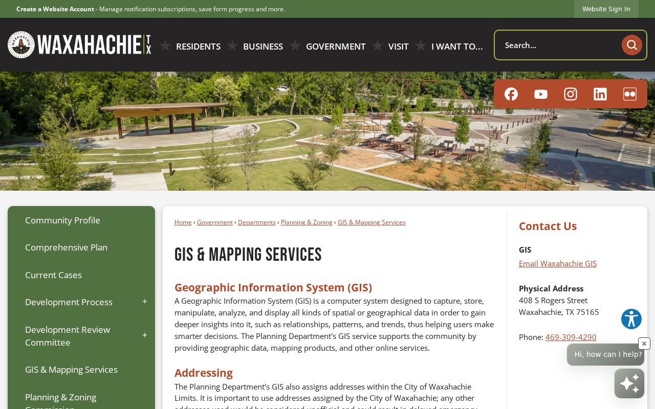
The city page supports an address-jurisdiction check. It does not publish a ZIP-based roll of residents.
Waxahachie ZIP Code County Maps
The county portal is the broader map route when an address may lie beyond the Waxahachie city boundary. Ellis County GIS provides web maps, address lists, an existing road-names list, and an NCT911 Address Map. It is also the documented contact for an outside-city address question. Compare the exact street, parcel shape, ZIP overlay, and county boundary context before attaching a county record to a mailing-city label.
The Ellis County GIS Portal brings together the county map routes used to validate a ZIP-area result against the actual parcel and road network.
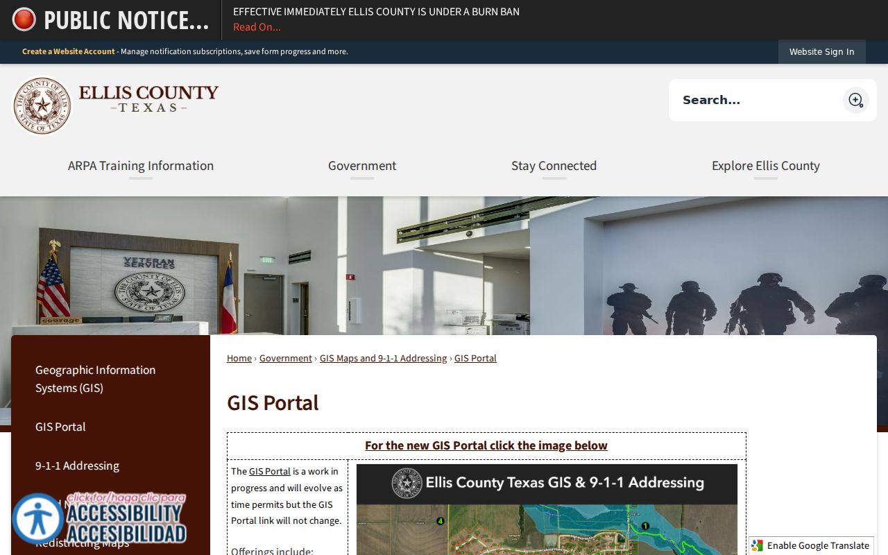
A ZIP polygon is useful context, while parcel geometry and legal description provide the stronger link to property and recorded documents.
Using a Waxahachie ZIP Code to Narrow Records
No official resident-name roll is organized for public browsing by Waxahachie ZIP. The useful process joins a delivery check to maps and then to a record system that uses an address, owner, parcel ID, or legal description. ZIP-wide searching is therefore an area-narrowing method, not a substitute for a person or property record.
- Run the exact street address through USPS ZIP Code Lookup. Preserve the standardized delivery address and ZIP instead of assuming the code from the mailing city.
- Open city or county GIS and compare ZIP Codes with City Limit, parcel, and annexation layers. If the site is outside city limits, use the county GIS contact path.
- Search ECAD by property address, account number, owner name, or one of its listed identifiers. Save the situs address, mailing address, property ID, and legal description.
- Use the legal description or owner to search the Ellis County Clerk deed index. The index is not a ZIP directory, so test every match against the parcel.
- For a lawful voter-record research question, ask the elections custodian for an existing eligible file or use the state request process. Do not expect a ZIP-only household roster.
Once a ZIP has narrowed the area to one street, the address chain belongs in the Waxahachie street directory workflow, where ECAD, GIS, deeds, and historic street listings are compared parcel by parcel.
Waxahachie ZIP Code ECAD Gap
ECAD is central to an address search, yet a ZIP-wide ECAD query was not verified in the public portal. The inspected portal advertises address, owner, account, and identifier routes plus a Property Type filter. It did not expose a ZIP filter, a ZIP result count, or a ZIP-wide export. Do not describe ECAD as a searchable ZIP resident list when that function was not observed.
| ECAD mode | ZIP-wide use verified? | Practical role |
|---|---|---|
| Account Number, Address, or Owner Name | No | Find a specific property or owner lead after a ZIP is confirmed |
| Property ID, Owner ID, Geographic ID, Reference ID, Tax Office ID | No | Refine a known parcel or account |
| Property Address | No | Search a standardized address, not a ZIP area |
| Property Type filter | No | Portal filter observed, but available options were not exposed |
For a larger existing map or data request, ECAD publishes an open-records and map request form with choices for parcel identifier, parcel lines, street names, a specified area, and delivery by pickup, mail, fax, email, or another stated method. A request should ask for an existing record, not a newly assembled ZIP resident list.
Waxahachie ZIP Code Voter Requests
A ZIP may be part of the location information used in an elections request, but the research did not confirm a ZIP-specific voter-file extract option. Ellis County Elections has a public-information request form for an individual or full county voter file with vote history. The form asks for requestor contact information, a detailed description of the existing information, a redaction response, and a signature. It lists a $5 voter file with vote history and accepts in-person, mail, email, and fax submission.
The statewide request form offers selection controls for active or suspense voters, an effective-date range, delivery media, and fixed-width file format. Both routes are constrained by election law and protected-address rules. Name, date, and source matter more than ZIP alone when matching a lawful file result to another record.
Note: An individual voter service can confirm registration and polling information, but it does not establish a complete ZIP-area directory.
Waxahachie ZIP Code Parcel Matches
When postal text, map layers, and a deed index appear to disagree, use the parcel record and legal description to reconcile them. ECAD uses property, account, geographic, reference, and tax-office identifiers. County deed records rely on grantor, grantee, date, type, instrument or BVP number, and legal description. A plat can connect a lot, block, or subdivision to a street. Metes-and-bounds language identifies land by bearings and distances rather than a numbered lot.
The Ellis County Clerk index reports full-index coverage from August 12, 1841 through August 24, 2026, with plat maps listed from April 30, 1957 through August 20, 2026. Index access, image purchase options, the Clerk counter, mail, and written request channels each serve different needs. A delivery ZIP should never replace the legal description as the key for a recorded transfer.
Waxahachie ZIP Code Boundary Limits
A postal ZIP and a city limit describe different things. A Waxahachie postal label can reach beyond incorporation, and a city-edge parcel may need city GIS, county GIS, ECAD, and the deed record to resolve its status. Current ZIP use is also a weak historical key because older directories and maps may omit it or use earlier postal conventions. Match historical residents through the street section, parcel, and legal description first.
- ZIP Code
- A USPS delivery area used to sort mail. It is not a municipal boundary or a property ownership record.
- ZIP+4
- An added delivery segment that helps USPS sort mail more precisely within a five-digit ZIP.
- PO Box ZIP
- A ZIP used for post-office-box service, such as Waxahachie 75168, rather than a conventional physical delivery area.
- Carrier route
- A USPS delivery sequence within an area. It is a mail-routing term, not a public resident-name list.
Other Ellis County ZIPs, including Red Oak, Midlothian, Ennis, and Maypearl designations, are not Waxahachie postal ZIPs merely because they share the county. Define whether the question is about delivery geography, city limits, or the broader county before searching.