
Walking a Waxahachie Street Directory
Street-by-street research works best as a chain, not as a claim that one record names every person at an address. Start with the exact standardized address and determine whether it falls inside the Waxahachie city limit. City Planning GIS assigns and verifies addresses inside that limit, while Ellis County GIS handles an address outside the city but within the county. A Waxahachie mailing label alone does not settle the jurisdiction. From there, the property record identifies the parcel that makes the rest of the search more precise.
- Confirm the street address and city-limit status. Use the city address process inside Waxahachie, or contact Ellis County GIS for an outside-city address question.
- Enter the address in the ECAD property portal and save every matching property or account identifier, the situs address, the mailing address, and the legal description.
- Open the same location in city or county GIS. Compare road labels, parcel outlines, ZIP and boundary layers before treating a similar street name as the same place.
- Use the legal description or current owner in the Ellis County deed index. Capture grantor, grantee, date, document type, BVP number, and legal description for each transfer.
- For a lawful voter-record question, use the official individual service only for its stated confirmation purpose, or make a properly limited county or state voter-file request. It is not an all-household street roster.
- For an older address, check the 1927-28 Coward directory street section number by number, then compare its householder and property-owner material with the alphabetical portion.
That order keeps a current parcel from being confused with a past address listing. It also leaves a trail another researcher can repeat.
Waxahachie Street Records in ECAD
ECAD’s property-search route advertises several ways to reach a property card. Address search is the natural entry for a Waxahachie street directory search. Owner-name search is useful only after the parcel result gives a name to test. The portal was client-rendered during research, so its required fields, result pagination, and complete parcel-card display were not verified. Keep the mailing address separate from the physical situs. A tax notice may go somewhere other than the parcel, and an exemption is not a complete household list.
| ECAD field or mode | Input type | Required | Observed use |
|---|---|---|---|
| Search by Account Number, Address or Owner Name | Mode and search text | Not stated | Combined public search route |
| Search by Owner name | Mode and text | Not stated | Name search; exact and partial behavior not stated |
| Property ID | Mode and text | Not stated | Property identifier |
| Owner ID | Mode and text | Not stated | Owner identifier |
| Geographic ID | Mode and text | Not stated | Geographic or parcel identifier |
| Reference ID | Mode and text | Not stated | Reference identifier |
| Tax Office ID | Mode and text | Not stated | Tax-office identifier |
| Property Address | Mode and text | Not stated | Situs or address search |
| Property Type | Filter | Not stated | Options were not exposed |
| Search | Button | Not applicable | Portal search control |
The captured ECAD search screen shows the official property-search entry point used before a street record is carried into mapping or deeds.
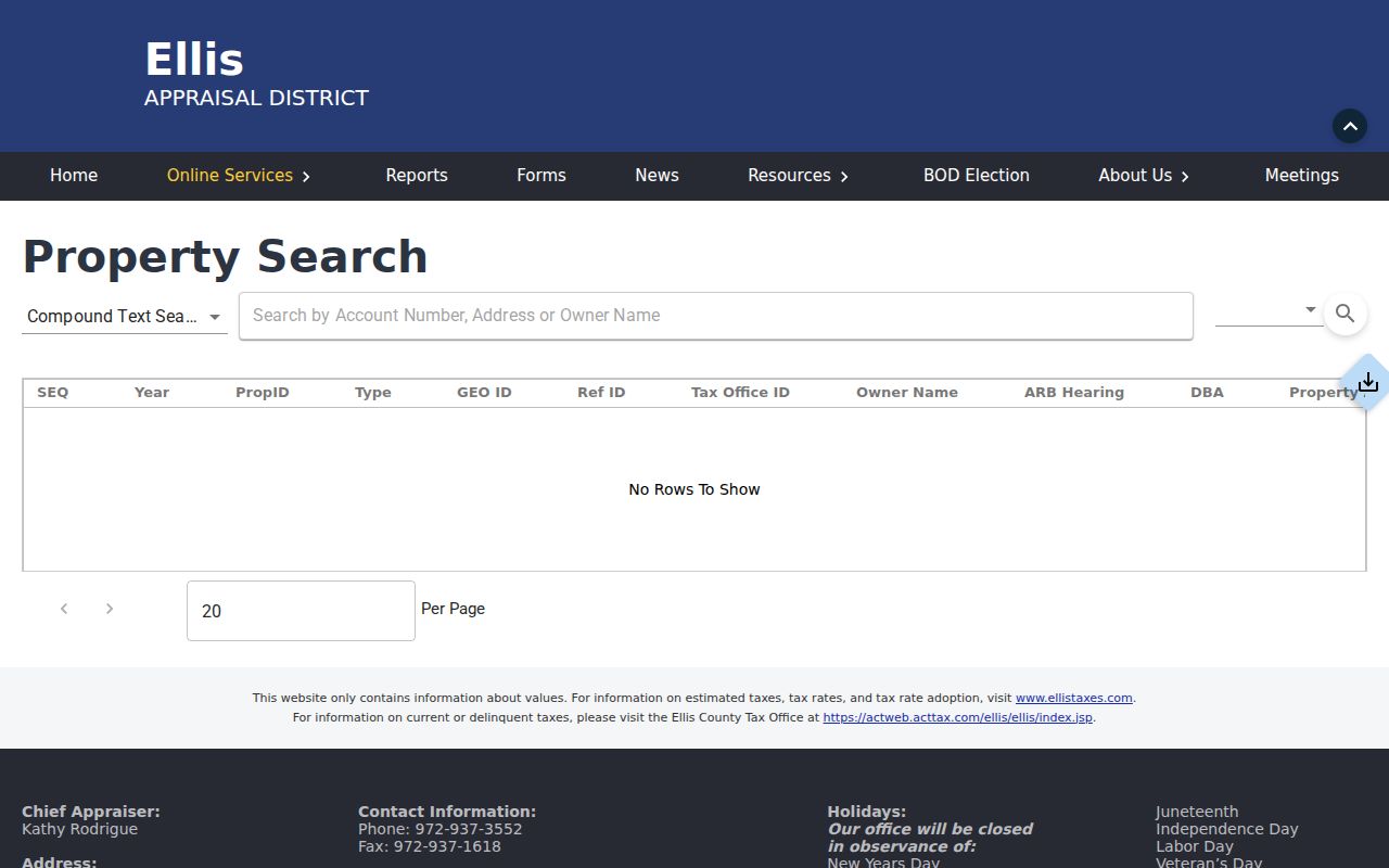
Use the screen as an entry point, then preserve the property identifier and legal description shown in the resulting record instead of relying on a street name alone.
Waxahachie Street GIS Layers
The map step gives the street directory its geographic check. The city ArcGIS service lists address points, parcels, ZIP Codes, City Limit, Census Tract, Code Enforcement Areas, Police Districts, School Districts, annexations and disannexations, zoning, flood information, districts, and historic-resource layers. Ellis County GIS supplies the countywide context, address lists, road names, and the NCT911 Address Map. Zoom to a segment, enable parcel and address labels, and record the parcel geometry before comparing any owner names.
The Ellis County GIS viewer is the countywide map source for a Waxahachie street search, particularly when the mailing city and city boundary may differ.
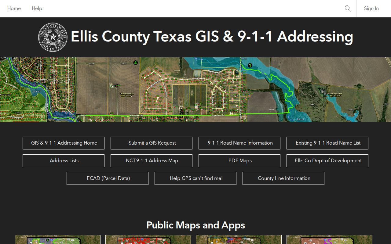
Parcel outlines and road context narrow the later ECAD and deed search to the correct tract. A map layer provides location context, not proof of every person connected with an address.
Note: For new or verified city addresses, Planning GIS allows five business days; outside city limits, Ellis County GIS is the documented address authority.
Waxahachie Street Directory Sources
Each address-keyed source answers a narrower question. ECAD identifies a current appraisal relationship. GIS describes a parcel and its public geographic layers. Recorded deeds show transfers, while permits date work or review at a location. The voter route is controlled by state rules, and the historic directory is a dated publication. Read them together, but do not make one record carry another record’s meaning.
| Address record | Search key | Useful clue | Access and limit |
|---|---|---|---|
| ECAD appraisal record | Address, owner, or IDs | Owner, mailing and situs addresses, values, exemptions | Public portal; live detail fields were not fully captured |
| City and county GIS | Map, address, parcel, layers | Parcel adjacency, boundary and district context | Public maps, not a household roll |
| Clerk deed index | Party, legal description, instrument | Owners across recorded transfers | Index and counter route; images need verification |
| City CSS permits | Address, project, permit | Project, applicant or contractor, and chronology where shown | CSS or city records request; historic scope not stated |
| Voter file | Name, address, lawful file request | Registration status and precinct information where released | Protected addresses and use restrictions apply |
| 1927-28 directory street section | Street and house number | Historical householder or property-owner lead | One dated directory; conventions vary |
| Sanborn maps | Block, house number, street | Building footprint and physical chronology | Not an occupant list |
The parcel ID and legal description are the strongest bridge between a current street search and older county recording language.
Waxahachie Street Deed Chains
The Ellis County Clerk deed index reports a full index from August 12, 1841 through August 24, 2026, and plat maps from April 30, 1957 through August 20, 2026. Search the present owner as grantee, or use the instrument or legal description. Then search the prior seller as an older grantee. Confirm that the lot, block, subdivision, or metes-and-bounds description remains the same before carrying a name backward.
The recorded result fields include County, Date, Type, Grantor, Grantee, BVP/No., and Legal Desc. The index is free with registration or login; high-quality PDF copies may be purchased. For older books, certification, image questions, or a record not exposed online, the County Clerk counter, mail route, and written Texas Public Information Act request remain the documented alternatives.
This captured County Clerk index displays the grantor-grantee and document modes that turn a parcel clue into a title chronology.
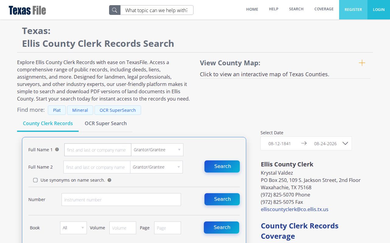
A transfer can cover an easement, a partial interest, or a neighboring tract. The legal description, rather than a surname or road label by itself, is the check on each link.
Waxahachie Street Permit Dates
City Building & Community Services adds a dated address layer through its Citizen Self-Service portal. The city describes electronic permit applications and payments, inspection scheduling, real-time status tracking, plan submission, and comments. A public result, when available, can place a project, inspection, or applicant at a particular time. It cannot establish a complete resident list for the address.
The city adopted the 2021 ICC codes and 2020 National Electrical Code with local amendments effective June 1, 2024. That milestone can help interpret a recent permit packet. The public pages do not state a complete historical cutoff or stable public field list, so a missing online result should be followed by a city records request for an existing non-exempt record.
Waxahachie Street Voter Records
VoteTexas can confirm an individual’s registration and polling-place information, but it is not a by-address list for a full block or street. Ellis County Elections offers a local public-information request route for an individual or full county voter file with vote history. The local form lists a $5 voter-file charge and accepts submission in person, by mail, email, or fax. State requests have their own form, delivery choices, selection controls, and affidavit requirement.
Protected voter addresses, Social Security numbers, driver-license and personal-identification numbers, phone information from applications, and some individual-request data are limited by law. Voting history identifies elections in which someone participated, not ballot selections. For historical materials not found in a current county index, Sims Library microfilm, local history resources, and Texas State Library and Archives collections are the documented fallback path.
Note: A lawful voter-file request can answer a defined records question, but protected-address rules mean it cannot establish every person on a Waxahachie street.
Waxahachie Street Grid Gaps
Waxahachie was selected as the Ellis County seat in 1850, and the circa-1850 town plat records streets, numbered lots, blocks, a church, and the public square. The original layout was largely north-south and east-west, with blocks generally near 200 feet square. Rail lines and Waxahachie Creek disrupted that grid, creating discontinuities and dead ends. That is why an older street reference may need a plat, a legal description, and current mapping before it is matched to a modern address.
No authoritative source located a citywide street-renumbering or renaming year. Do not assume one. Where the text of an old directory differs from a current address, compare the historic plat, the County Clerk legal description, relevant Sanborn sheets, and city GIS annexation or disannexation layers.
Waxahachie Street Directory History
The 1927-28 Coward directory is expressly described as a complete classified business directory, street directory, and householder/property-owner guide. Located Waxahachie editions also include 1895-96, 1907, 1922, and 1942, with Texas State Library holdings listed for 1969 and 1976. Those gaps matter. A directory entry fixes a person or household lead to the edition date, not to every year before or after it.
- Parcel
- A mapped unit of land used to connect an address with a property identifier and legal description.
- Situs address
- The physical street location of a parcel, distinct from the mailing address used for tax notices.
- Plat
- A recorded map that can connect a lot, block, and subdivision description with the street layout.
- Criss-cross directory
- A reverse street listing that starts with an address or house number and points to a dated householder or owner listing.
Sims Library’s reference and genealogy service, its microfilm resources, the Texas State Library catalog, and historical collections are the shelf-and-archive channels for this part of a Waxahachie street directory search. For a sustained historical household trail, use the Waxahachie City Directory collections rather than treating one reverse listing as a complete timeline.
Waxahachie Street Directory Limits
Public property and recorded-document records do not name every person tied to a street address. Private household-member information, utility customer data, delivery data, DMV address history, protected voter addresses, sealed matters, and confidential victim information are outside this kind of street research. A recorded owner, an appraisal mailing contact, a voter entry, a permit applicant, and a historical directory householder describe different roles and dates.
When the online trail stops, contact the custodian that holds the underlying record. The County Clerk, ECAD, city records office, County GIS staff, library, and archives each control different pieces of the address trail.